Last Updated on 05/11/2024 by Glynn Willard
Coordinates For The Abandoned Campground
42°40’09.7″N 112°13’01.1″W
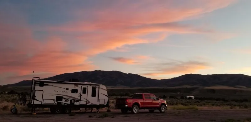
Indian Rocks at one time was a private campground, but it closed. Now it’s an abandoned campground.
Eventually the Bureau of Land Management took over the land.
This is a great overnight location if you need to stop and rest.
It’s also full of some cool history, so make the time to explore.
- Time Of Year We Visited This Part Of Idaho
- Permit Required To Camp At Indian Rock?
- Government Agency
- Presence Of Law Enforcement On This BLM Land
- Road Conditions In And Out Indian Rock
- Is The Abandoned Campground Big Rig Friendly?
- Cell Strength & Carriers Around Interstate 15
- Starlink Friendly Sky View At Indian Rock?
- How Are The Crowds Around Indian Rock?
- Did We Feel Safe Boondocking At The Abandoned Campground?
- Wildlife And Insects In This Part Of Idaho
- Dump Station And Potable Water Near Indian Rock BLM?
- Interpretation And Review Of Dispersed Camping At Indian Rock
The Boondocking Details
Late June.
No.
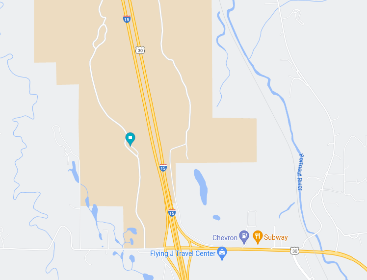
Bureau of Land Management
We stayed five nights and did not notice any law enforcement.
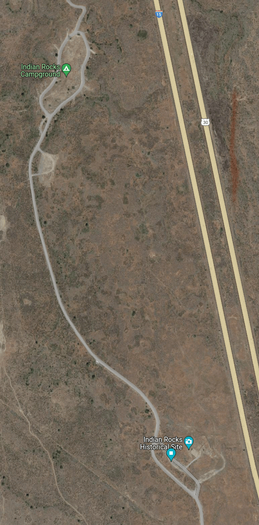
The road is passable by any type of vehicle.
There are a few large ruts and depressions, but any vehicle can navigate around the poor road conditions.
Yes, this location is big rig friendly.
There are spots of all sizes especially further back where the original campground was located.
The end forms a loop, so there will be no issue turning any type of large rig around.
Since the site is right next to the interstate (15), all carriers are well represented.
Our data and phones were super fast, so we spent a lot of time getting work done and videos uploaded.
Yes, there’s a clear view of the horizon except for the small range to the east.
But you will not need Starlink in this dispersed camping site.
Craving Video? Visit Our Channel
There was a lot of coming and going and many of the small spots were occupied by van life campers.
The larger spots had several Class A’s and there were a few tents here and there.
Everyone we encountered was pleasant and friendly.
It seemed to be a popular area for equestrians. There were quite a few on horseback.
There was also some traffic coming just to see the historical petroglyphs at Indian Rocks.

We felt safe. There were no suspicious characters.
In fact, everyone was friendly.
There were no pesky insects to disrupt our time outdoors.
We did not encounter any wildlife in this spot likely due to the proximity to the highway.
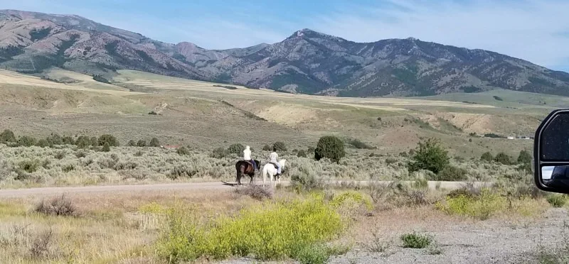
Horseback riders frequented this road.
There’s a free city dump and potable water station just north of the BLM site in Pocatello.
The coordinates are:
42.850760, -112.421031
There was no one there and the water was very good.
Not Sure What You Need For Your RV?

When we first pulled in, we cringed thinking it was not suitable.
But after stopping and walking back to check the road conditions, I was pleasantly surprised.
The sites we’re suitable and other campers nearby waved and said hello.
We took the first site on the right, which was technically the parking lot for the petroglyphs.
Initially, we thought it was a bad move, but everyone who parked there was friendly.
Then a huge Class A pulled up in front of us and we made quick friends. We talked motorcycles since the were trailering two Indian bikes.
We shared a few good meals and enjoyed the joys of fulltime RV living.
The town of Pocatello also served us well to get some tire work done on our trailer during our stay.
I highly reccommend this BLM site!
Find this spot on Boondocker’s Bible boondocking locations map here.
Meet the author.
We appreciate any help we can get to bring you great content. Donate or buy us a coffee on our Ko-Fi site.